I was at work the other day and saw a three day weekend coming up. The thought occurred to me that I had not been on a fastpacking trip in quite a while. Where to go? Well, there was rain in December, January is a cool month here in the bay area - this might be the perfect time to hit up Coe. Henry Coe State park can be a tough place to backpack when conditions are nice (check out my prior trips from 2013 and 2014). I would imagine it could be downright miserable if conditions are not on your side. Early spring is probably the most ideal time for this park.
I sent out an email to all of my buddies who I knew to be fastpackers to solicit some company for my adventure, being pretty sure that I would get no takers a week before the weekend because, well, people have lives - and not everyone gets MLK day off (thanks government!). Fortunately my buddy Sachin was looking for the perfect opportunity to get away from work and crazy hill training and get some nice time in the backcountry. So we packed our bags and headed out for adventure:
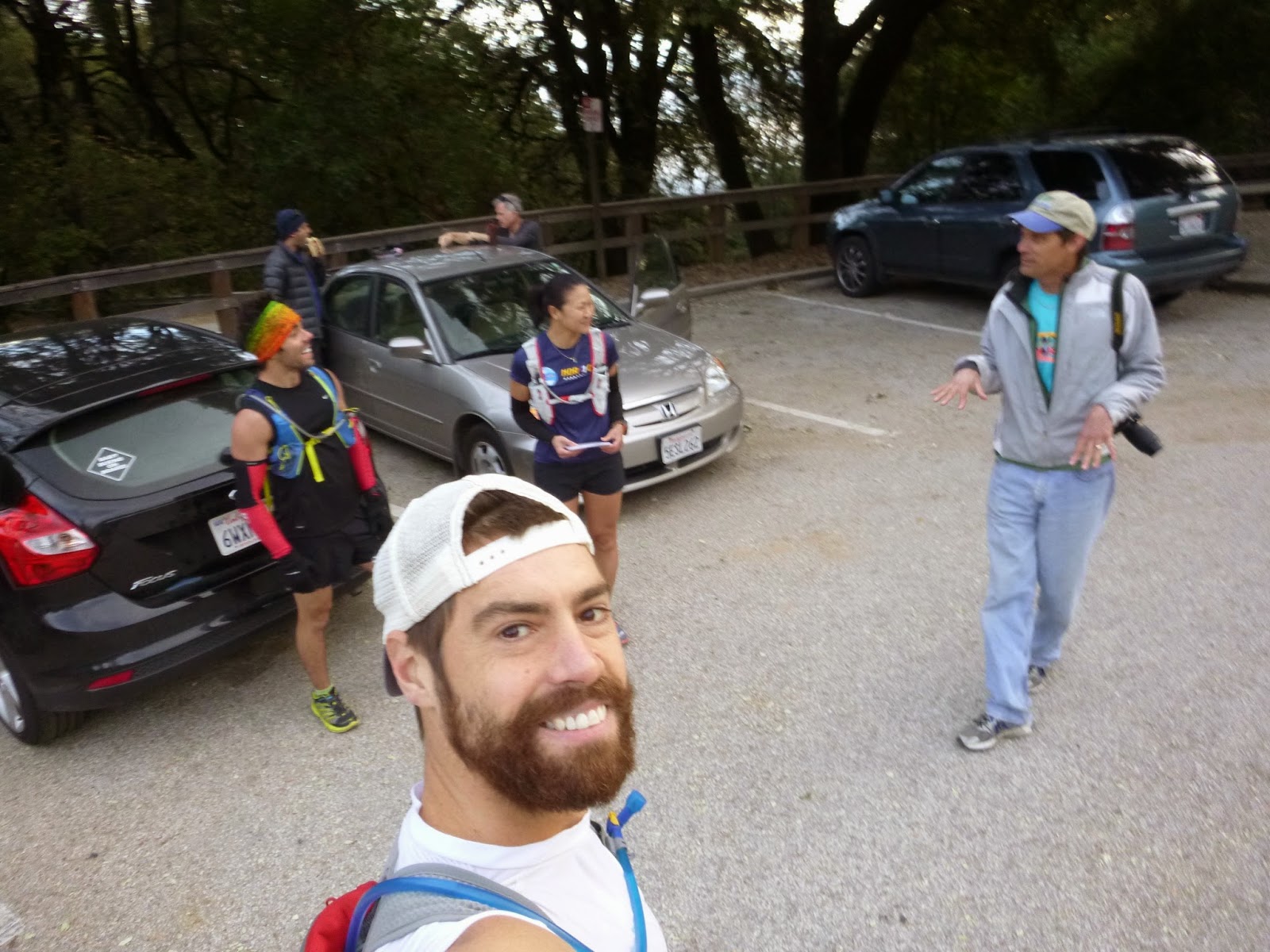
The obligatory start picture. Henry Coe Headquarters.
Great pic opportunity at Frog lake on the way to Blue Ridge.
Climbing Mt Sizer.
Sachin and I were curious about the bunches of vegetation in the dormant oaks. Still need to look into that.
In deep contemplation on the summit of Sizer - 3216 ft. (Photo credit: Sachin)
Sachin and his sweet solar charger. Kept his garmin humming all day - great Strava data. (Photo credit: Sachin)
Sachin ascending Hat Rock.
Views from Hat Rock. Sachin shows off his toe socks.
Other views from Hat Rock. I swear, I did not buy this shirt. It was given to me at a race last year - but it did make a great hiking shirt!
Hat Rock.
Descending Rock House Ridge. In my opinion one of the most beautiful sections of trail.
Observing the Newt activity. (Photo credit: Sachin)
Waterproof camera really paying off about now.
These guys are pretty impressive in the water.
Really - this is underwater.
I show Sachin the trail up Bear Mountain.
Cooling off my feet before we tackle the big climb.
We ascended the steep trails of Bear Mountain and then entered the Orestimba Wilderness. As we descended a ridge on the chaparral trail we stopped on a grassy ledge a couple hundred feet above Red Creek to camp for the night. It's always a nice feeling to start setting up your sleeping quarters as the sun is setting because it gives you that warm and cozy. Cooking up our freeze dried meals and snacking on pepper-nuts (yummy nickel size cookies that Joanne's family makes), we recounted our day and scouted out the map for the next days route.
That night some pretty crazy dreams came to both of us. Usually I can't remember dreams at all, but oddly enough, on these trips, they come quite vivid. Sachin dreams he was being carried off by a mountain lion - and I believe him because I heard his frantic voice speaking some gibberish in the middle of the night. I dreamed that my youngest son Blake had taken a fall while under the care of a friend from church. He was returned to us without any mention of the fall, and he started to deteriorate before our very eyes - his hair started falling out, he was gibbering all of his words, and he had a constant look of confusion on his face. It was one of the most disturbing dreams I have every had.
Anyways, we awoke the next day and laughed off our frantic nights sleep and continued on into the upper Robison Creek area - a section of the park that I had never explored before, but had been told that I need to go there. It did not disappoint:
Lion? What Lion?
Incredible morning.
The ridge: On the right is the Red Creek valley, on the left are the headwaters of Robison Creek which will eventually flow into the Orestimba.
The valley of Robison Creek.
The wild flowers abound.
From Robison creek we started keeping our eyes open for the mt stakes trail. The thing about the trails in the Orestimba wilderness is that they are basically old farm roads that have long since been overgrown and are now there in concept only. There aren't even any trail signs. There are some lines on a map though - which helps. We tested a deer trail that went up a ridge only to find out that the actual trail was one ridge over. You would never have been able to spot the trail from the creek though, it was only through surveillance from our current vantage point that yielded the find. So we contoured our way over and then made our way up to mount Stakes - the highest point in the area.
On the way up Stakes. See the tuft of clouds in the middle of the valley.
Sweating pretty hard now... (Photo credit: Sachin)
Sachin's solar charger is going at full capacity!
On top of the world!
You get done with most of the climbing to top out on a false summit only to find that you still have to travel another half mile down an old dirt road to get to the real summit. We made it to the summit of Mt Stakes at 3804 ft and sat down and some some eleven-sees. I whipped out my tin of mustard herring (thanks Santa!) and was in heaven.
On the way down the mountain.
This hillside reminded me of some kind of wild Savannah.
After descending back down to Orestimba creek, we decided to follow the water south until we hit the Orestimba corral, where we planned to spend the night.
(Photo credit: Sachin)
Horny Indian.
The "Rooster Comb"
Picnic table? Seriously? This was true luxery. The Orestimba Corral.
Sachin woke up this morning with a terrible discovery: He had a tick feeding on him! The tick had been on his hip the day before, but he thought it was just his hip belt rubbing the wrong way. This being his first experience with ticks, he freaked out and ripped out what he could and threw it away. It turns out that he probably got the tick off soon enough and is in the clear, but it did kick off our morning with some worry.
We were able to enjoy the mystical quietness of the fog for most of the morning. Here I am eating a "Joanne" Bar for breakfast. (Photo credit: Sachin)
The "Tie-down" trail was a fantastic little jaunt through the hillside where there wasn't actually much of a trail at all, but a bunch of ribbons tied to some branches.
The barely visible spire to the left was Tie-Down peak. We got a stiff scolding from Toshi for not climbing that thing...
Following Pacheco Creek to get home.
Descending Willow Ridge to reach Los Cruzeros - one of the pretties parts of the park.
When we reached Los Cruzeros we finally started seeing people again! We hadn't seen a soul in the last day and a half. This boy caught himself a newt. He and his dad were bombing around the trails with their mountain bikes.
Wow: people.
The "narrows" Great fun.
Sachin - having a little bit too much fun.
Soaking in the views before finishing up our trip.
Awesome old oak on the way back to headquarters.
The End picture.
Sachin's data turned out pretty sweet. Here is our route through the park as evidenced by his GPS readings:
Stats:
Day 1 – Distance 20.0 miles, Vert 4945 ft, time 08:13:41 Day 2 – Distance 24.9 miles, Vert 6050 ft, time 10:14:35 Day 3 – Distance 21.7 miles, Vert 5400 ft, time 07:55:46
In terms of equipment and food it was pretty much same old stuff. I think I have my preferences nailed down. Gear lists have been provided in previous fastpacking posts.
As has become tradition at our house, we closed the 2014 running season with the girls trail race: Sanborn Summit Rock 5k. Joanne and Hayley have been running this race for the last couple of years, so this was year number three for them, and they were joined this year by friend Kassandra, who would be experiencing her first trail race ever!
Ada says: Ha, ha, I don't have to run...
Blake says: "climb tree"
The gals: Hayley, Joanne, and Kassandra, ready to rock, I mean Summit Rock. Joanne sporting her customary cat-in-the-hat injinji trail socks - she has a knack for trail fashion.
Hayley, smelling the barn
Doing her best to ignore the cute little boys handing out medals
Umm, so when is mamma getting here?
There she is.
Uhh, that hurt.
That really hurt. Ada empathizing.
Kassandra, blowing kisses to the crowd.
Yay!
Great way to close the year! As for my thoughts on how my year of running went, it was a mixed bag. I thought I had a fun early season with some laid back races, fast-packing, then culminating with a satisfying win at the 4 mph challenge. But then I floundered in my spring races, hit the reset button, and had an awesome summer of big time training, and racing mixed in too. It seemed like it was all for nought though when I failed to finish my hundred mile goal race. Then I had an unfocused, but satisfying late fall-winter where I didn't really do any real racing, but experienced some new adventures and reset my mind to figure out what I wanted to accomplish in 2015.
2015 Saratoga Fat Ass Race Report
Actually I don't really "race" fat ass events. To me these things are more like semi-organized group runs. To the best of my knowledge, fat asses were introduced as way to put on a race or run, for no cost. You would ideally keep the participant number below the threshold that would require you to get a permit for the event, and there would be no medals, t-shirts, etc. Aid would be sparse as well, although I have known some fas ass organizers to be pretty generous. Around here these races are predominant in January and February - the thinking being that most runners take some time off around christmas doing a lot of eating and sitting and replenishing fat stores. But then the fat has to come off before we get into real racing season.
The Saratoga Fat Ass is one of my favorite courses. It is a course that I repeat in training year around because of what beautiful terrain you get to experience. I've run it in both directions, the 50 mile version, when it was hot, when it was raining, it never disappoints. This year was no different as we had pretty much perfect trail conditions with perfect running weather. Also, this year marks the first that the race was organized by the generous Keith Blom, who has probably been running this thing since it was invented. I love that in the ultra-trail community there are so many people that decide to give back to the sport, and I've seen Keith volunteer at a bunch of the stuff around here and he is always high-energy, thoughtful and on-the-ball.
I took a few more pictures but they all kinda had this blur to them. You know, that blur that you might have if sweat got all over your camera. Because sweat got all over my camera.
Kristina Irvin was out and about - good chance to catch breath...
We had a pretty relaxed early pace, but Jean would push us pretty good on the climbs, and then wait for us to catch up. We did do a lot of chatting and catching up on things. Keith's aid station at china grade was fantastic. Bananas, chips, gu - the works! The next miles were kind of a blur as Jean pulled us all the way to waterman gap about 6-7 miles from the finish. At this point I talked him into going after a "strong finish" i.e. go ahead and leave us in your dust...because I was pretty much toast. James didn't seem like he wanted to chase Jean either, so he stuck with me until I spotted a nice soft pile of pine needles and leaves to lay down on, and then James went ahead as well. I continued to death march myself to the finish, relishing every "scenic view" bench that I came across. It took me a while to finish the thing, but I managed a 5:45 for the 29 mile course which included like 6200 ft of climbing. I guess I got a lot of work to do until I'm in racing shape - but thats what these things are for, right? I think I lost a little bit of my ass yesterday. I hope.
Other happy finishers - I'm so sorry I didn't remember your names!
It's not every day you come across equipment like this on the trail! Apparently these guys are working on something like a google maps street view, but for trails! Pretty cool.